Idaho Falls, Idaho — A Winter Weather Advisory is in effect for portions of East Idaho and surrounding areas through Friday, April 3, 2026, at 6:00 PM MDT, according to the National Weather Service office in Riverton, Wyoming. The advisory was issued Wednesday, April 2, 2026, at 11:16 AM MDT and covers a period of hazardous winter conditions that forecasters warn could bring snow accumulation, gusty winds, and dangerously low temperatures to Bonneville County and the broader Idaho Falls region just ahead of the Good Friday holiday weekend.
Residents across Idaho Falls, Ammon, Iona, Ucon, and surrounding communities in Bonneville County are urged to take the advisory seriously and prepare for deteriorating travel conditions throughout Wednesday night and into Friday. The combination of snowfall, wind gusts, and freezing temperatures creates conditions that can rapidly reduce visibility and make roadways hazardous, particularly on elevated terrain and open stretches of highway.
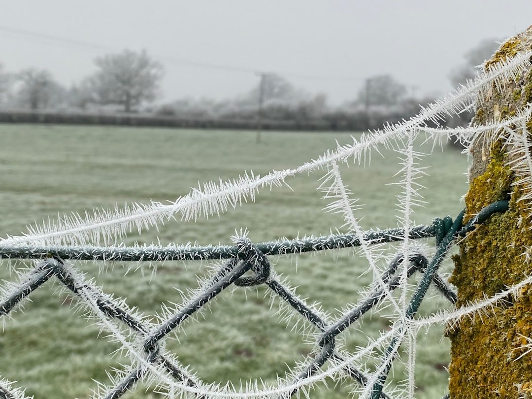
What the Advisory Covers: Snow, Wind, and Freezing Conditions
According to the National Weather Service, the advisory-level event is being driven by a storm system tracking through the region that forecasters describe as capable of producing thunderstorms alongside snowfall — a relatively uncommon combination that signals significant atmospheric instability. Gusty winds accompanying the system are expected to cause blowing and drifting snow, which can reduce visibility to near-zero in open areas, including along Highway 20 and Interstate 15 corridors that connect Idaho Falls to outlying communities and regional destinations.
Freezing temperatures are expected to persist through the advisory period, meaning any snow accumulation is unlikely to melt quickly on road surfaces. Black ice becomes a serious concern under these conditions, particularly during overnight and early morning hours when temperatures drop to their lowest points.
Motorists are advised to slow down, increase following distances, and ensure vehicles are equipped with appropriate tires and emergency supplies. Those traveling toward Yellowstone, Teton country, or other elevated destinations should check road conditions before departing. The Idaho Transportation Department provides up-to-date road condition reports at 511.idaho.gov.
Timing and Impact on the Good Friday Holiday Weekend
The timing of this weather event carries added significance as the advisory extends through Good Friday, April 3, a day when many Idaho families may be traveling for Easter weekend gatherings, outdoor recreation, or religious observances. Schools, businesses, and event organizers in the Idaho Falls School District and Bonneville Joint School District service areas should monitor updated forecasts as conditions evolve.
The Eastern Idaho Regional Medical Center and local emergency services typically see an uptick in weather-related incidents — including traffic accidents and slip-and-fall injuries — during winter storm events, even in spring months when residents may be less prepared for hazardous conditions than they would be in December or January.
This advisory comes on the heels of recent wind-related weather activity in the area. Bonneville County residents may recall that the National Weather Service office in Pocatello recently issued a Wind Advisory for Idaho Falls and Bonneville County, highlighting an active stretch of unsettled weather moving through East Idaho this week.
Forecasters emphasize that spring snowstorms in Idaho can be deceptively dangerous due to the heavier, wetter nature of late-season snow, which is more likely to weigh down tree limbs and power lines, potentially causing outages. Property owners should be aware of that risk as the storm moves through.
For statewide weather and emergency preparedness updates affecting communities across Idaho, visit Idaho News.
What Comes Next
The Winter Weather Advisory issued by NWS Riverton, Wyoming remains in effect until 6:00 PM MDT on Friday, April 3, 2026. Residents and travelers in Idaho Falls, Bonneville County, and East Idaho should continue monitoring updates from the National Weather Service and local emergency management offices as the storm system progresses. Additional advisories or warnings may be issued if conditions worsen beyond current projections. Bonneville County News will continue to provide updates as new information becomes available.